01
Sandy rewrote the flood map and the housing with it
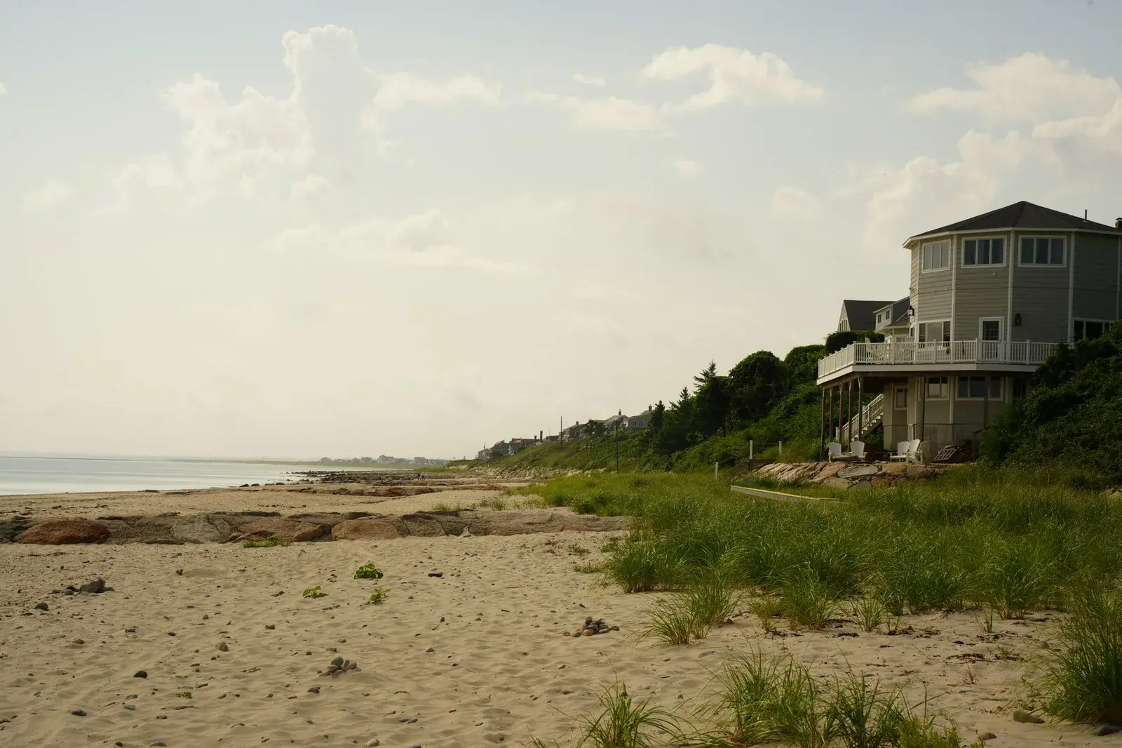
Sandy produced catastrophic flooding in Belmar — the boardwalk was destroyed, the Shark River came up into the streets, and hundreds of houses needed elevating or rebuilding outright. The borough runs a Floodplain Management office that will give you flood depths, base flood elevation and projected 2050 sea level rise for a specific address, which is worth having before any work is scoped.
Source: Borough of Belmar Floodplain Management Office — flood zone and map information